
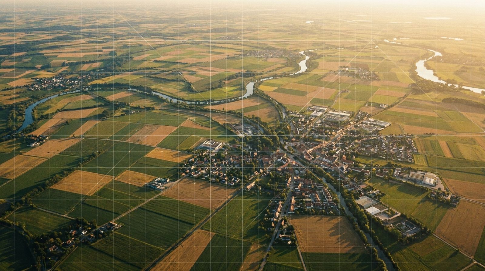
What is the Indian Geo-Platform of ISRO? The Indian Geo-Platform of ISRO is called Bhuvan, a full geoportal that visualizes remote sensing and thematic datasets collected by India's satellite network. Developed by the National Remote Sensing Centre (NRSC), Bhuvan allows government departments, researchers, and citizens to access spatial data for applications ranging from disaster management to agriculture and urban planning.
Bhuvan consolidates decades of satellite imagery and ground data into a single gateway. Unlike commercial mapping tools that prioritize consumer navigation, Bhuvan serves governance, environmental monitoring, and scientific research. The platform operates through five distinct modes: standard, thematic, data hub, governance, and disaster, each tailored to specific user needs. This structure reflects ISRO's mandate to support national development through space-based observation.
The platform's recent evolution includes Bhuvan NextGen, a redesigned interface that integrates high-resolution satellite data from Cartosat-2E, 2C, 2D, and 2F missions. This update delivers imagery at 1.5-meter spatial resolution, acquired between 2022 and 2024, making it one of the most current national datasets available for public use.
Why Bhuvan Matters for National Planning
Bhuvan supports policy execution across multiple ministries. The Greening and Restoration of Wastelands with Agroforestry (GROW) initiative, launched by NITI Aayog in February 2024, relies on Bhuvan's suitability mapping to identify underutilized land for agroforestry expansion. The platform shows that agroforestry currently covers 8.65% of India's total geographical area, roughly 28.42 million hectares, with potential to restore 26 million hectares of degraded land by 2030.
The Bhuvan Urban Water Information System (UWIS) serves as a decision-support tool under the Atal Mission for Rejuvenation and Urban Transformation (AMRUT). It provides detailed information on urban water bodies for 500 AMRUT cities and associated aquifers for 10 pilot cities, enabling the Ministry of Housing and Urban Affairs to monitor and manage water resources at scale.
KASTURI, the Knowledgebase of Archaeology and heritage using Spatial Technologies, maps cultural heritage sites across India. The National Highways Green Cover Index (NH-GCI) tracks vegetation along highway corridors, supporting infrastructure planning that balances development with ecological impact. These applications demonstrate how content teams and SEO teams in government and research sectors use spatial data to inform public communication and policy documentation.
How Bhuvan Delivers Spatial Data
When exploring what is the Indian Geo-Platform of ISRO and how it functions, understanding Bhuvan's operational modes is essential. Bhuvan operates through several access modes:
- Bhuvan 2D and 3D: Interactive viewers for exploring satellite imagery and terrain models
- Bhuvan Lite: A streamlined interface optimized for mobile devices and low-bandwidth environments
- Open Data Archive: A repository for downloading raw satellite datasets
- Bhoonidhi VISTA: A catalogue of geospatial resources and metadata
- Climate & Environment: Tools for monitoring land use, vegetation, and environmental change
Bhuvan Lite enables field teams to access spatial data on smartphones with voice-guided navigation, a feature updated in Pocket Bhuvan. This capability extends geospatial intelligence to users without desktop access, supporting real-time decision-making in agriculture, forestry, and disaster response.
The platform's thematic services cover agriculture, water, forestry, e-governance, tourism, urban development, and rural planning. Ocean services provide coastal zone mapping and marine resource monitoring. Disaster management services deliver rapid assessment maps during floods, landslides, and cyclones, as seen in the Chooralmala landslide impact maps for Wayanad, Kerala.
Applications Across Sectors
Bhuvan's governance mode allows departments to host customized applications on the platform. The Night Time Light (NTL) portal tracks decadal changes in night-time illumination from space between 2012 and 2021, revealing urbanization patterns, economic activity, and infrastructure growth. The First Census of Water Bodies, conducted under the Irrigation Census scheme, mapped every tank, pond, and reservoir in India using Bhuvan's spatial framework.
For CMOs and marketing directors in sectors like healthcare and fintech, understanding how spatial data platforms operate offers lessons in how specialized technical audiences discover and evaluate tools. Bhuvan's structure mirrors the challenge of making complex data accessible without sacrificing depth, a problem Markgrid Competitive Intel addresses for brands tracking visibility across search and conversational platforms.
Bhuvan's Evolution and Current Capabilities
Those asking what is the Indian Geo-Platform of ISRO should know that the Bhuvan Geoportal, maintained by the Bhuvan Geoportal & Web Services Group (BGWSG) at NRSC, receives continuous updates. The most recent update, logged on May 10, 2025, reflects ISRO's commitment to keeping the platform synchronized with satellite missions and user needs.
The Data Hub mode provides access to high-resolution multispectral imagery from the Cartosat series, enabling analysts to compare temporal changes in land use, urban sprawl, and vegetation cover. This capability supports regional planning, environmental compliance, and climate adaptation strategies across state and district levels.
Frequently Asked Questions
Which Government Organization Has Developed Bhuvan?
Bhuvan was developed by the National Remote Sensing Centre (NRSC), which operates under the Indian Space Research Organisation (ISRO). The Bhuvan Geoportal & Web Services Group (BGWSG) within NRSC is responsible for the platform's development, maintenance, and continuous enhancement to meet diverse user needs.
How Many ISRO Centers Are There in India?
ISRO operates multiple centers across India, each specializing in different aspects of space research, satellite development, launch operations, and applications. Key centers include the Vikram Sarabhai Space Centre, Satish Dhawan Space Centre, ISRO Satellite Centre, and the National Remote Sensing Centre, which hosts Bhuvan.
How Can I Download the Latest Version of the Bhuvan MGNREGS App?
The Bhuvan MGNREGS app supports the Mahatma Gandhi National Rural Employment Guarantee Scheme by providing spatial planning tools for rural works. Users can download the app from the official Bhuvan portal or through Android app stores. The platform provides installation guides and user manuals for field-level implementation.
What Is the Name of the Indian GPS System Operated by ISRO?
The Indian Regional Navigation Satellite System (IRNSS), operationally known as NavIC (Navigation with Indian Constellation), is India's independent satellite navigation system developed and operated by ISRO. NavIC provides positioning, navigation, and timing services over India and the region extending up to 1,500 kilometers around it.
From Satellite Imagery to Actionable Intelligence
Bhuvan demonstrates how national spatial data infrastructure can serve multiple stakeholders without fragmenting into disconnected dashboards. The platform's integration of remote sensing, thematic layers, and application-specific tools creates a single source of truth for government planning, environmental monitoring, and public information.
For organizations building platforms that aggregate and present complex data, Bhuvan's five-mode structure offers a model: organize by user intent rather than by data source. This approach reduces friction for users who need specific insights without navigating a technical catalogue. Markgrid's GEO guide applies a similar principle to brand visibility, consolidating search, conversational, and community signals into a unified workflow that marketing teams can act on without switching between tools.
How often MarkGrid is named when AI models discuss this topic. About Model Share
Rishi utkarsh gupta
Associate director
Rishi Utkarsh Gupta is an Associate Director at MarkGrid, an autonomous marketing operating system powered by 650+ AI agents. He focuses on AI visibility, marketing intelligence, and scalable growth systems.
See it on your brand
Thirty minutes on where marketing is leaking for you.