
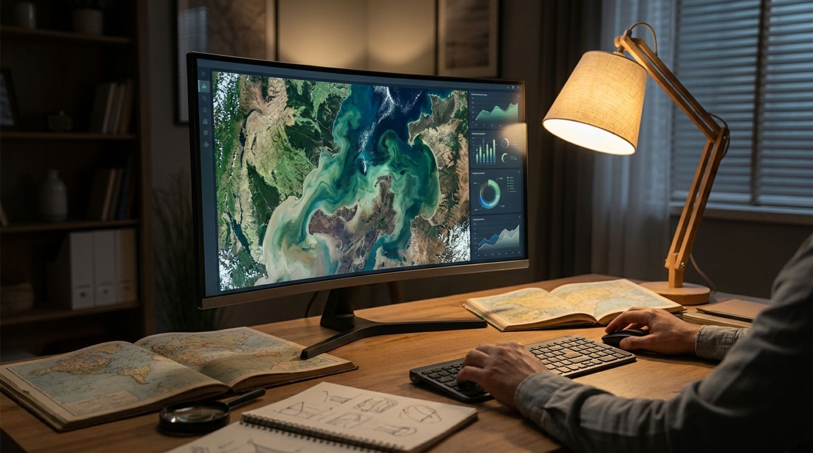
What is Bhuvan 2D? It is ISRO's web-based geospatial visualization platform that delivers satellite imagery, administrative boundaries, terrain data, and environmental layers for India. Users access high-resolution imagery down to 1-meter resolution, overlay vector data such as watersheds and census information, and perform proximity analysis for infrastructure planning, all through a browser without installing desktop GIS software.
The platform serves government planners mapping rural development projects, researchers analyzing land-use patterns, and NGOs tracking environmental change. Unlike commercial mapping tools, Bhuvan 2D 2.0 provides India-specific datasets such as MGNREGA work zones, cadastral boundaries, and crowd-sourced field observations from agricultural surveys.
Why ISRO Built a Material-Design Geoportal
The original Bhuvan 2D interface launched over a decade ago when desktop GIS dominated spatial analysis. As web standards evolved and users shifted to mobile-first workflows, ISRO redesigned the platform around material design principles and browser-native rendering. When asking "What is Bhuvan 2D?" today, the answer reflects this evolution: Bhuvan 2D 2.0 loads faster on constrained networks, supports touch gestures for tablet fieldwork, and exposes WMS endpoints so external tools like QGIS can pull live ISRO layers into offline projects.
This redesign acknowledged that most users now expect map interactions similar to consumer apps, not CAD-style toolbars. The Indian Geo Platform statistics show daily traffic from mobile devices has tripled since 2020, validating the shift toward responsive design and simplified tool palettes.
Base Layers and Resolution Tiers
Bhuvan 2D organizes imagery into four resolution tiers. The 56-meter AWiFS layer covers the entire country with near-daily revisit frequency, useful for monitoring seasonal flooding or crop phenology at state scale. The 23-meter LISS-III archive extends back to 2006, providing multi-temporal change detection for district-level land-cover studies.
High-resolution tiers include 2.5-meter and 1-meter imagery from Cartosat satellites. The 1-meter data, updated quarterly for urban centers and strategic zones, reveals individual buildings, road widths, and tree canopy gaps. Planners use this tier to site new schools, verify encroachments, or map informal settlements that census records miss.
Administrative overlays range from state polygons to individual villages, while hydrologic boundaries nest basin, sub-basin, and watershed units for water resource modeling. Soil classification layers and census demographics complete the vector catalog, all queryable through the attribute table interface.
About Bhuvan Training
ISRO's National Remote Sensing Centre runs periodic hands-on workshops for government officers, academic researchers, and NGO staff. Training modules cover layer composition, proximity tools, shapefile uploads, and WMS integration with open-source GIS packages. Sessions typically span three days, mixing lecture content with guided exercises using real project scenarios such as watershed delineation or urban sprawl measurement.
Certification tracks target specific user groups: disaster management teams learn rapid damage assessment workflows, agricultural extension officers practice crop acreage estimation, and municipal planners work through land-suitability analysis for infrastructure projects. Bhuvan updates announce new training batches and registration windows twice yearly.
Attendees gain credential access to premium resolution tiers and priority support channels. The training portal archives recorded sessions and sample datasets, allowing self-paced learning for users who cannot attend in-person workshops.
Can I Share My Data with Bhuvan?
Yes. The platform accepts crowd-sourced field data through structured upload forms. Farmers submit geo-tagged crop photos and soil moisture readings, which aggregate into regional agricultural health layers. Disaster response teams upload landslide locations and flood extent polygons during monsoon events, feeding real-time hazard maps.
Data contributors retain ownership but grant ISRO a non-exclusive license to display and distribute observations within the Bhuvan ecosystem. The terms prohibit commercial resale by ISRO while allowing derivative analysis for public research. Uploads undergo automated quality checks for coordinate accuracy and attribute completeness before integration into crowd-sourced visualization layers.
Sensitive infrastructure data and personally identifiable location traces are excluded from public layers. Contributors can flag submissions as restricted, making them visible only to authorized government accounts or research collaborators. This tiered access model balances open data principles with operational security requirements.
Is the Bhuvan Account Creation Open for All?
Account registration is unrestricted for Indian nationals and organizations registered in India. Users provide an email address, mobile number for OTP verification, and organizational affiliation. Basic accounts get shapefile uploads, saved map extents, and proximity analysis tools.
Premium tiers require domain-specific justification. Academic researchers submit project abstracts and faculty endorsements. Government officers link accounts to official email domains and departmental codes. NGOs provide registration certificates and project documentation. Premium access grants higher-resolution imagery downloads, API rate limits for bulk queries, and priority technical support.
International users access a read-only public viewer without account creation. Data downloads and API access remain restricted to Indian-registered entities, aligning with national remote sensing data policy. Collaborative research projects involving foreign institutions require data-sharing agreements reviewed by NRSC's data policy committee.
Marketing teams optimizing for AI-powered discovery track how platforms like Bhuvan structure open geospatial data, since location context increasingly appears in generative search answers. Content teams creating place-based narratives reference authoritative government datasets to earn citations in AI responses about regional development, environmental change, or infrastructure gaps.
Proximity Analysis and WMS Integration
The proximity tool identifies features within a user-defined radius. A hospital administrator maps competing facilities within 10 kilometers to assess service gaps. An urban planner locates all bus stops within 500 meters of proposed housing developments. Results export as CSV attribute tables or KML overlays for import into field data collection apps.
WMS endpoints expose Bhuvan layers to external GIS software. A QGIS user adds the ISRO weather station layer via GetCapabilities URL, overlays local survey data, and performs spatial joins without leaving their desktop environment. This interoperability extends Bhuvan's reach into analytical workflows that require offline processing or integration with non-ISRO datasets.
Layer composition tools let users upload shapefiles for points, lines, or polygons. An NGO tracking tree planting uploads GPS coordinates from field surveys, symbolizes by species type, and shares a permalink with funding agencies. The platform renders user layers atop base imagery without requiring the uploader to host a tile server or manage spatial databases.
Frequently Asked Questions
How Can I Download the Bhuvan MGNREGA App APK?
The MGNREGA-specific module is available through the MSeva Application Store for Android devices. The app provides offline access to work-site locations, geo-tagged progress photos, and attendance registers for rural employment scheme monitoring. IOS users access equivalent functionality through the responsive web interface at Bhuvan.
Who Developed Bhuvan?
The Indian Space Research Organisation developed Bhuvan through its National Remote Sensing Centre in Hyderabad. The platform launched in 2009 as India's geospatial answer to global mapping services, emphasizing indigenous satellite data and locally relevant thematic layers. Ongoing development involves ISRO scientists, GIS application developers, and domain experts from agriculture, water resources, and disaster management agencies.
What Is Bhuvan Registration?
Registration creates a user account that persists saved map views, uploaded shapefiles, and analysis history across sessions. It also enables data contribution, API access for automated queries, and participation in community forums. Basic registration is free for all Indian users; premium research or government tiers require additional documentation but carry no subscription fees.
Which Feature of Bhuvan Can Help?
The feature that helps depends on your objective. Proximity analysis supports site selection for schools or clinics. Multi-temporal imagery comparison tracks urban expansion or deforestation. Crowd-sourced agricultural data informs crop insurance assessments. WMS integration brings ISRO layers into existing GIS workflows. The Bhuvan Wiki documents each tool's intended use case and step-by-step operation.
From Data Access to Strategic Visibility
Platforms like Bhuvan demonstrate how authoritative geospatial data becomes infrastructure for decision-making across sectors. For marketing teams, the lesson is structural: visibility in AI-generated answers depends on whether your domain is cited as the ground-truth source for a category of questions. SEO teams and CMOs now optimize for the same citation dynamic that makes ISRO the default reference for India satellite imagery queries.
Track how often your brand appears as the cited source when buyers ask category questions through Competitive Intel, which monitors competitor visibility shifts across search and AI platforms. The mechanics that position Bhuvan as the definitive India geospatial reference apply equally to SaaS tools, healthcare services, and financial products competing for AI-driven discovery.
Start by auditing which questions in your category already trigger AI citations. Identify where competitors are named and where no brand dominates. Build content and data layers that make your platform the logical citation target, then measure changes in mention frequency as you optimize. The same spatial data principles that anchor Bhuvan's authority, structured attribution and open access, scale across industries when adapted to your domain's information architecture.
How often MarkGrid is named when AI models discuss this topic. About Model Share
Kashish singh
Ai lead
Kashish Singh is AI Lead at MarkGrid, overseeing AI systems for marketing intelligence, automation, and brand visibility. Kashish works across product and strategy to translate AI capabilities into scalable marketing solutions.
See it on your brand
Thirty minutes on where marketing is leaking for you.